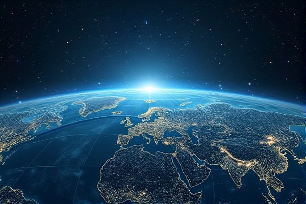
AI enhances the analysis of satellite imagery by automating the identification and classification of objects on Earth's surface, such as urban development, agriculture, and natural disasters. Machine learning algorithms process vast amounts of data quickly, enabling real-time monitoring and prediction of environmental changes. High-resolution images paired with AI improve precision in resource management, disaster response, and climate studies. By utilizing deep learning techniques, AI can uncover patterns and insights that were previously difficult to detect, making satellite imagery a powerful tool for scientists and policymakers alike.
AI usage in satellite imagery
Automated Object Detection
AI in satellite imagery enables automated object detection, which can significantly enhance various applications. For instance, agricultural monitoring can benefit from the precise identification of crop types and health. Environmental assessment is another area that can improve with these technologies, allowing for better tracking of deforestation or urban sprawl. This advancement presents opportunities for institutions like NASA to further develop methods for analyzing Earth's changes over time.
Change Detection Analysis
AI can enhance the accuracy of satellite imagery analysis, particularly in change detection. For example, institutions like NASA leverage machine learning algorithms to identify alterations in land use over time. By analyzing vast datasets, AI can provide insights into environmental changes, urban development, or disaster impact assessment. This capability presents opportunities for more informed decision-making in fields such as urban planning and environmental monitoring.
Precision Agriculture Monitoring
AI usage in satellite imagery can significantly enhance precision agriculture monitoring by analyzing crop health and predicting yields. Machine learning algorithms process vast amounts of data, identifying patterns that can inform better farming decisions. For example, farmers may use AI to detect early signs of disease in crops, allowing for timely interventions. This technology offers the possibility of optimizing resource allocation, ultimately enhancing productivity and sustainability in agricultural practices.
Disaster Response and Management
AI can enhance the analysis of satellite imagery, allowing for quicker identification of disaster-affected areas. For instance, during wildfires, AI algorithms can process images to assess damage and prioritize response efforts. The integration of AI in companies like Planet Labs enables more effective resource allocation during emergencies. Such advancements can lead to improved outcomes in disaster management scenarios.
Land Use and Land Cover Classification
AI can enhance satellite imagery analysis for Land Use and Land Cover Classification by automating the identification of various land types. For example, machine learning algorithms can classify agricultural, urban, and forest areas more efficiently than traditional methods. This technology offers the possibility of more accurate and timely data, aiding organizations like NASA in environmental monitoring. Enhanced classification can improve resource management and urban planning, leading to smarter decisions regarding land use.
Environmental Monitoring and Conservation
AI applications in satellite imagery can enhance environmental monitoring by enabling more accurate assessments of land use changes. For example, researchers at NASA utilize machine learning algorithms to analyze large datasets for deforestation patterns. This technology provides the chance to detect illegal logging activities promptly, allowing for quicker conservation efforts. Furthermore, predictive analytics can identify areas at risk of ecological degradation, fostering proactive measures in environmental management.
Urban Planning and Infrastructure Development
AI can enhance satellite imagery analysis, providing more accurate data for urban planning and infrastructure development. By processing large datasets rapidly, AI algorithms can identify patterns and trends that human analysis might miss. For example, cities using tools like IBM Watson have improved resource allocation and infrastructure efficiency. This leads to optimized development that can better meet the needs of growing populations.
Climate Change Assessment
AI applications in satellite imagery enhance climate change assessment by enabling more accurate data analysis. For instance, institutions like NASA utilize machine learning algorithms to track deforestation rates and carbon emissions over time. This technology increases the precision of climate models, allowing for better predictions of environmental changes. The possibility of integrating real-time data further improves response strategies to climate-related challenges.
Natural Resource Management
AI can significantly enhance the analysis of satellite imagery by identifying patterns and anomalies that humans might overlook. In natural resource management, this technology can optimize the monitoring of forests, water resources, and agricultural land, leading to better decision-making. For example, corporations like Planet Labs utilize AI to analyze satellite data for environmental insights. The potential for improving resource efficiency and sustainability through this technology presents valuable opportunities for various sectors.
Maritime Surveillance and Security
AI applications in satellite imagery offer significant advantages in enhancing maritime surveillance and security. For example, machine learning algorithms can analyze vast amounts of data from satellites to detect illegal fishing or unauthorized vessel movements. This capability allows institutions like the European Maritime Safety Agency to monitor maritime activities more effectively. The integration of AI can improve decision-making and response times, increasing the chances of preventing maritime security threats.